Great Smokey Mountains NP - NC, SC, TN, and GA State HPs
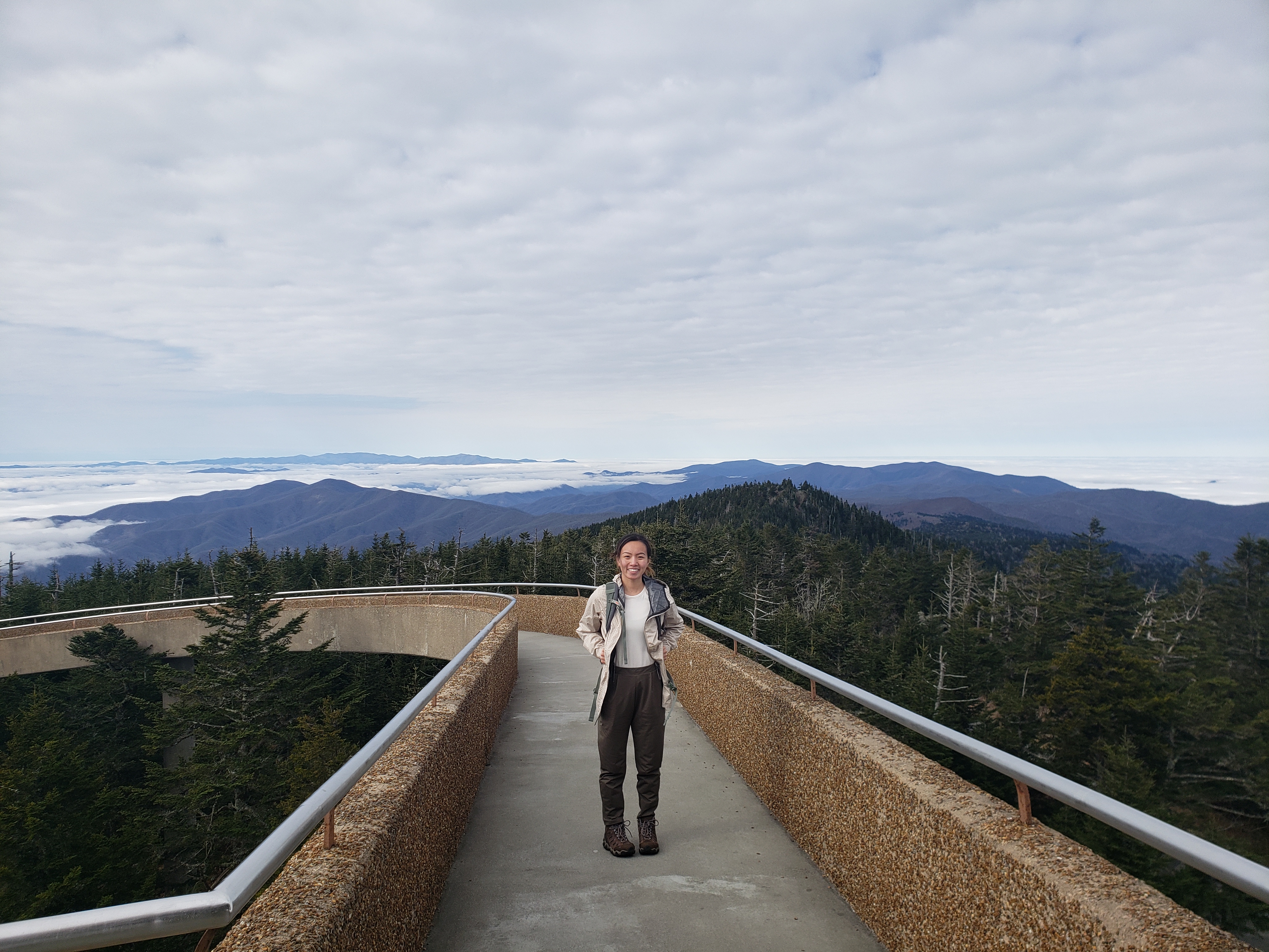
Tori at the top of Clingmans Dome after a ~8 mile road walk.
March 5th - Day 1 - Arrival and SC HP
My trip actually started the night before. I was flying out of Pittsburgh on one of the first flights of the day and because the public bus does not run early enough in the morning I had to take it the night before and camp out in the airport. As airports go Pittsburgh is very quiet overnight and I pretty much had a whole terminal to myself. That did not make the ground (no sleeping pad) any more comfortable however. My setup is shown below.
After meeting Tori at the Charlotte airport and picking up the rental car we zipped off to meet Tori's friends and hit up the Ashville REI for equipment (tents, sleeping pads, etc.) and a grocery store for food. From Asheville we headed southwest with Sassafras Mountain, South Carolina's state highpoint, in our sites.
Sassafras Mountain (3,554 ft; 1,083 m) is a drive up highpoint with a parking lot less than 100 feet from the top. A major concrete structure has been erected on top of the mountain with a nice compass rose and the North/South Carolina state line running through it. Views into each state were good, but nothing jaw dropping. I would rate it 5/10. With our first high point of the trip checked off we got back on the road to make it to our campsite at Smokemont in Great Smokey Mountain National Park. We saw a nice herd of elk right upon entering the park. Little did we know these would be the last large mammals we would see on our trip.
Story continues after Day 1 photos.
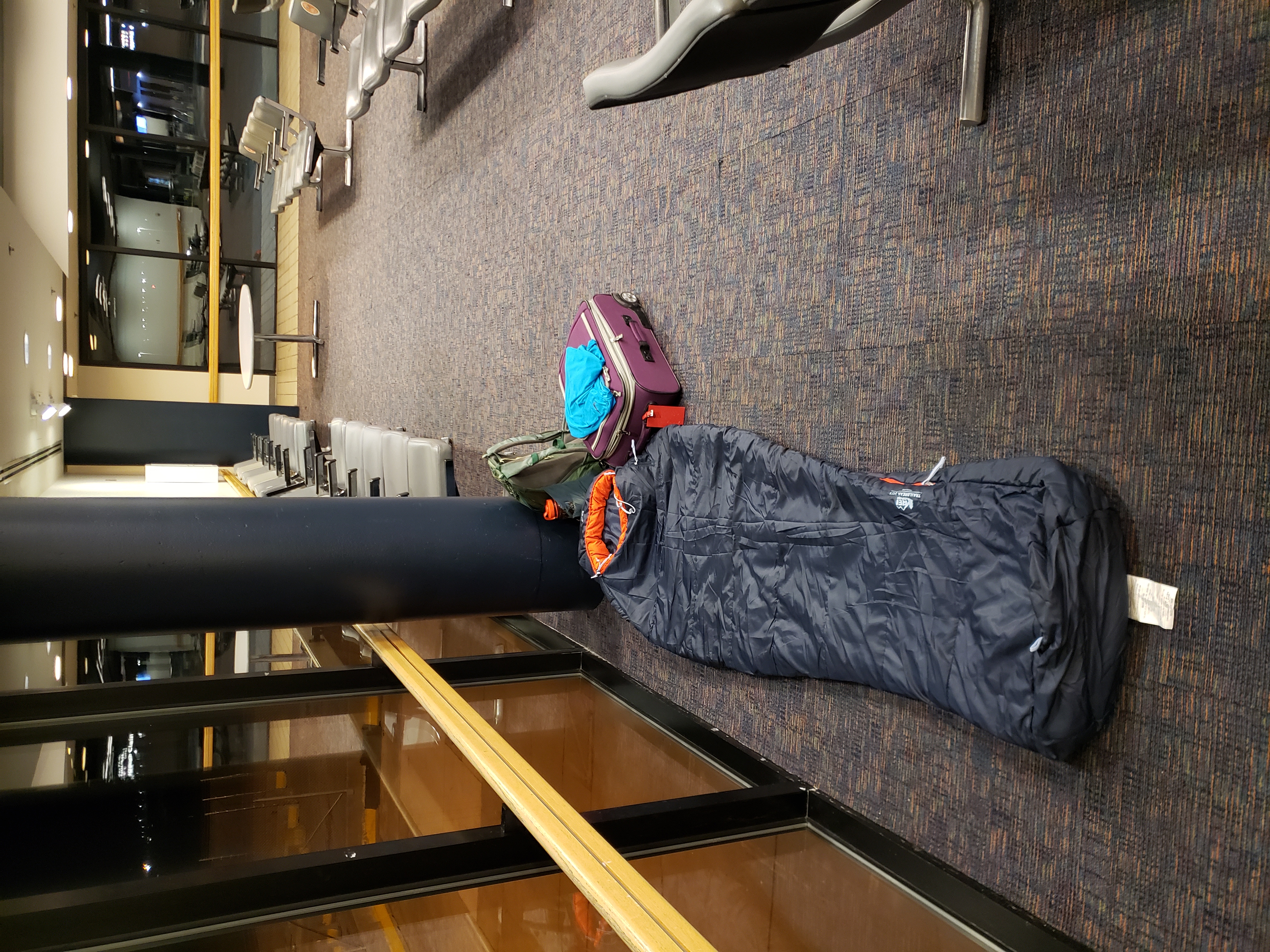 My camp site in Pittsburgh International Terminal B.
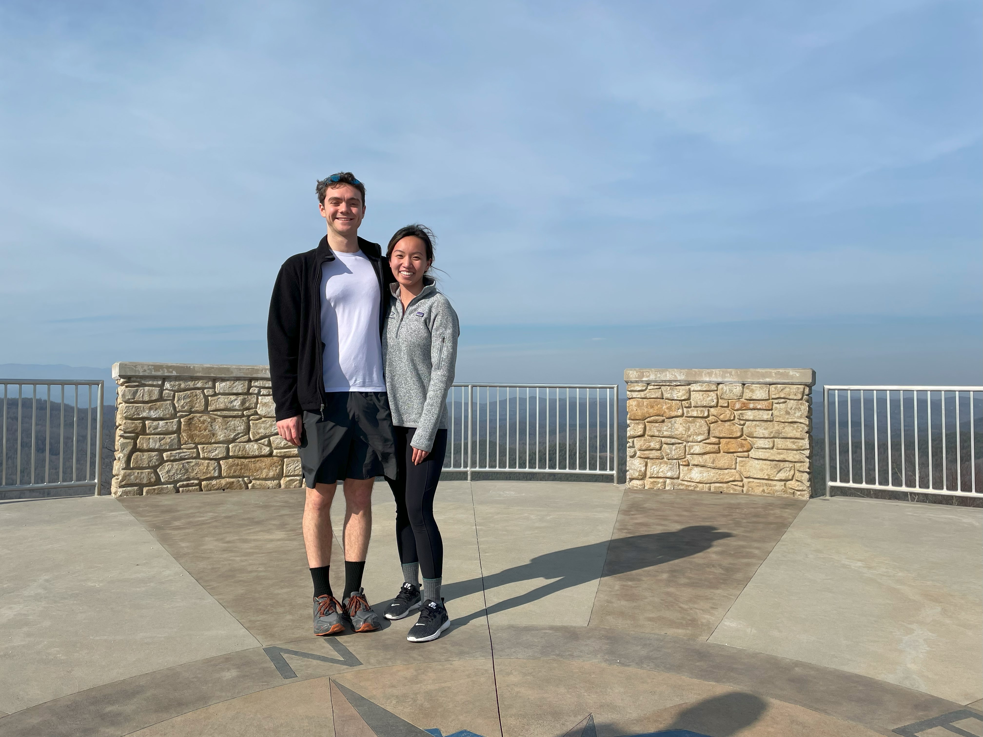 Tori and I on the summit monument.
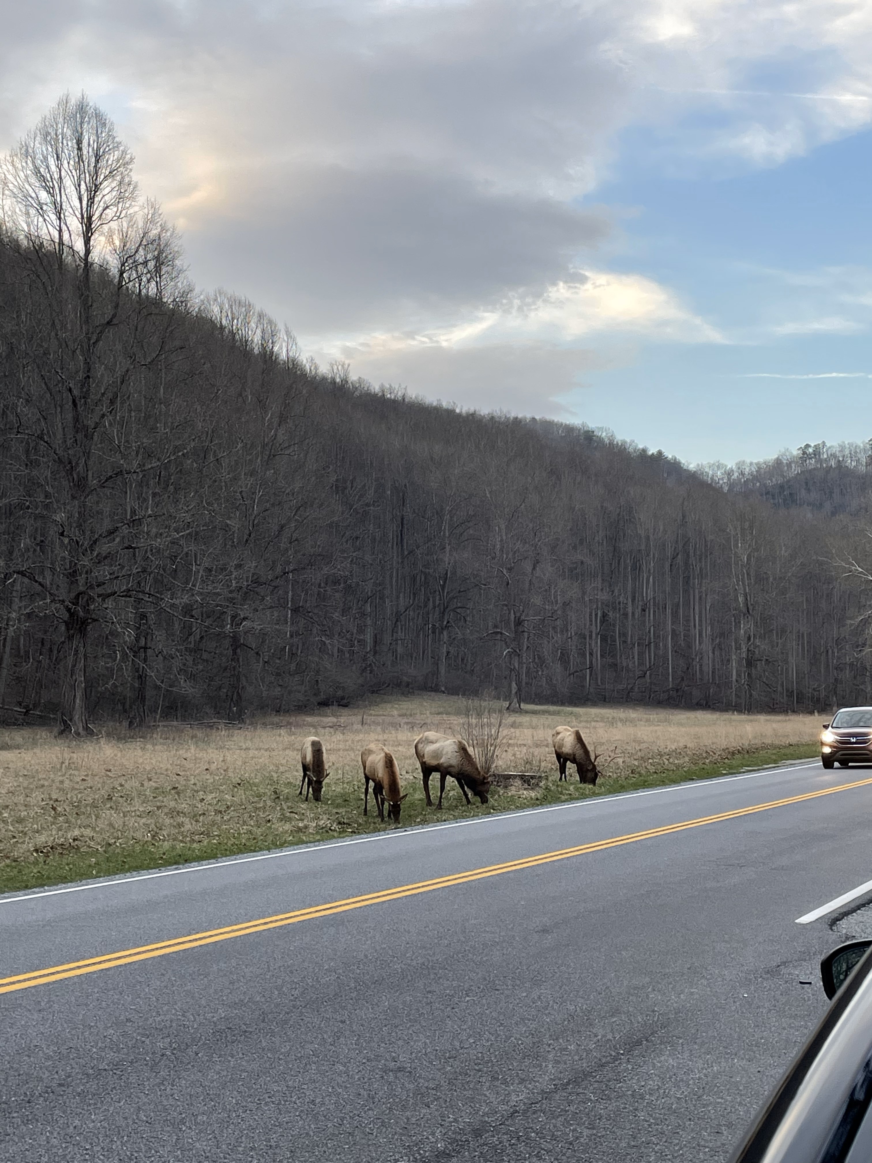 A small group of the elk herd we saw.
March 6th - Day 2 - Exploring GSM NP, Chimney Top and Cades Cove
Day 2 was our first day to explore Great Smokey Mountain National Park. We started the day with a climb up Chimney Tops. I completed the class 2 scramble to the summit which had a nice view of the surrounding area. We headed south on the west side of the park to get to the Cades Cove Scenic Loop but unfortunately didn't see too many animals. We stopped at the saddle that divides NC and TN for sunset. The routes for both the Chimney Tops hike and later Clingmans Dome road walk can be seen here.
Story continues after Day 2 photos.
 Chimney Tops as seen from the steep trail through the trees.
 View from the top of Chimney Tops.
 Me on top of the "chimney" as seen from below.
 Sunset on the Tennessee-North Carolina border.
March 7th - Day 3 - Exploring GSM NP Waterfalls and GA State HP
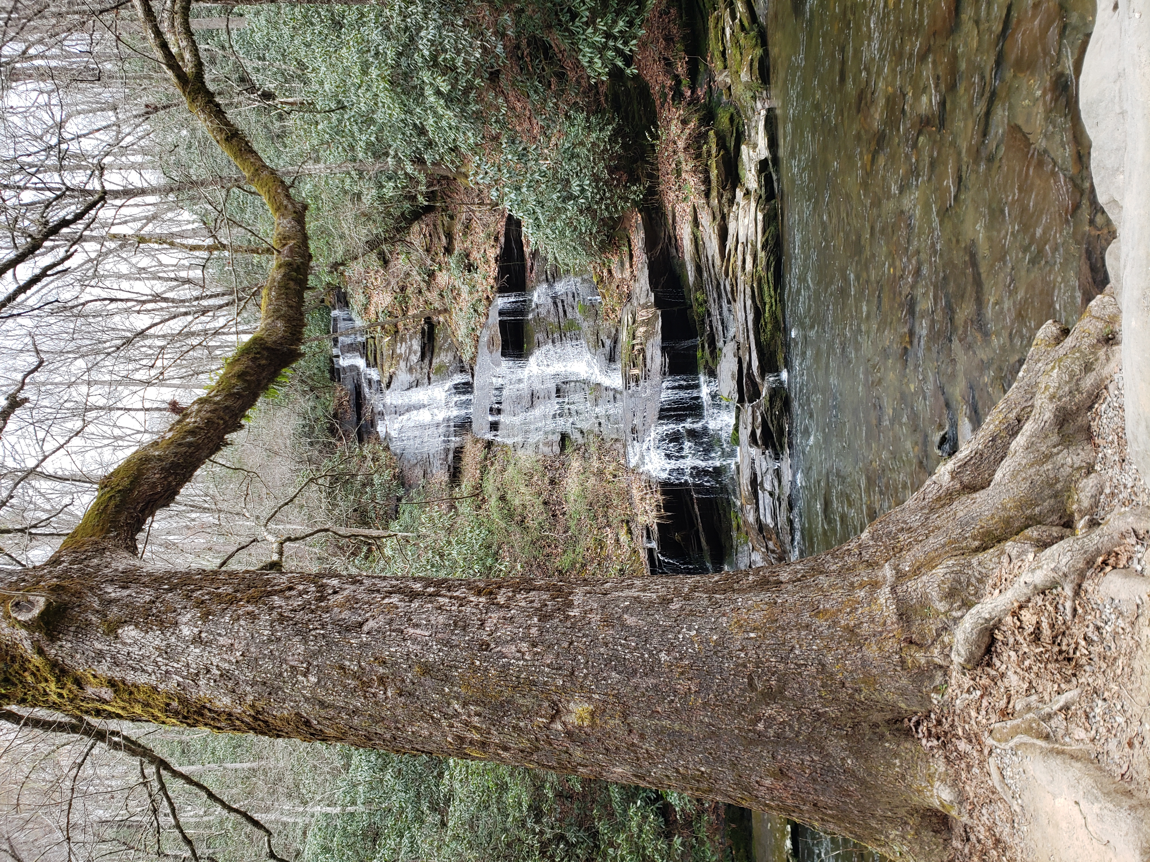
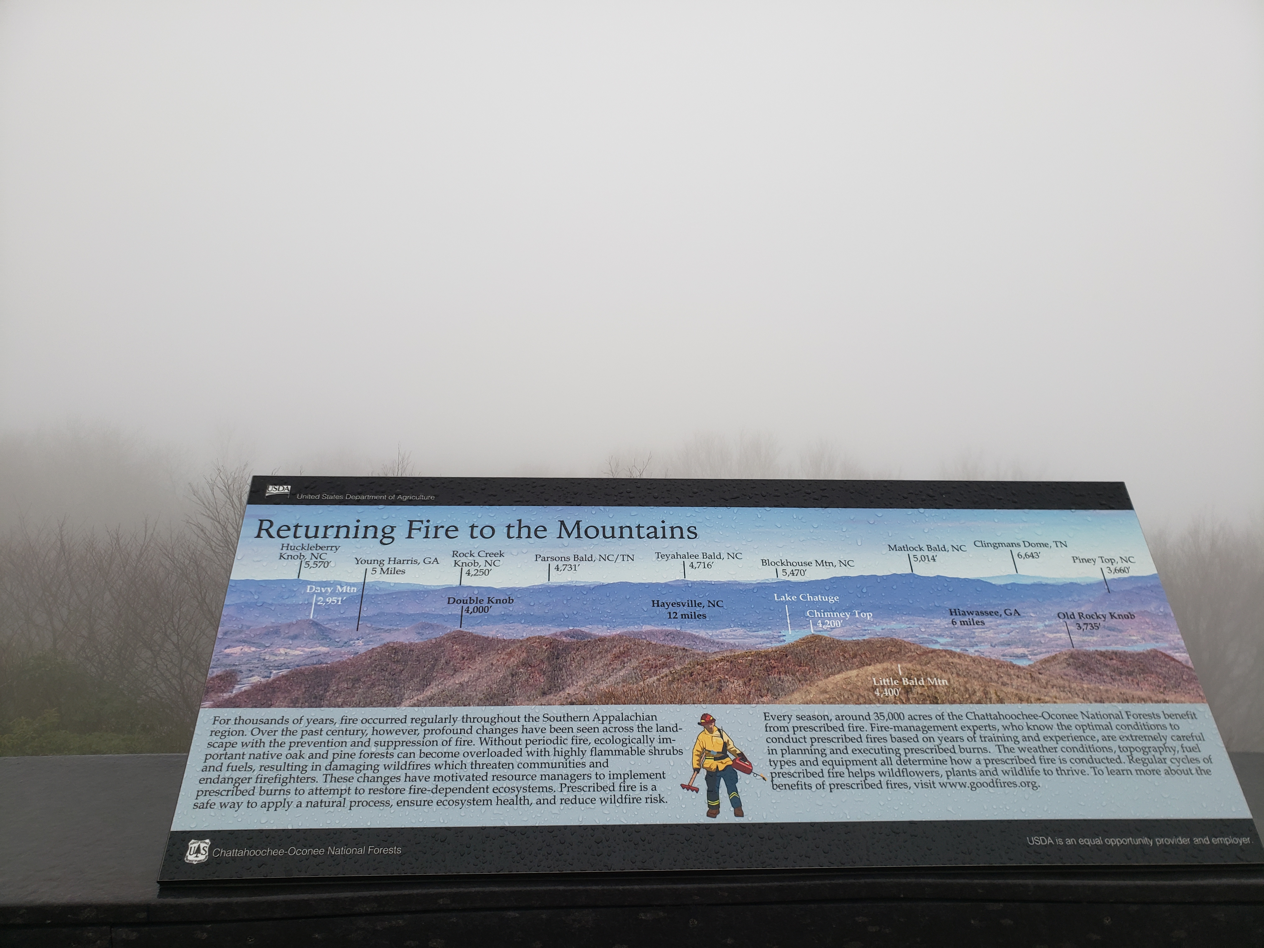
The morning of day 3 we tried to see as many waterfalls as we could including Tom Branch Waterfall, Indian Creek Waterfall, Juney Whank Falls, and Mingo Falls. It was wet and rainy but that was on theme for the day. In the afternoon Tori and I blasted south in the car to get to Brasstown Bald (4,784 ft; 1,458 m), the Georgia State HP. Brasstown Bald supposedly sports great views from atop its accompanying observation tower. I say supposedly because thick fog meant we couldn't see the ground from 20ft up on the observation tower deck. Unsurprisingly, we had the whole peak and tower to ourselves :).
Story continues after Day 3 photos.
 Tom Branch waterfall.
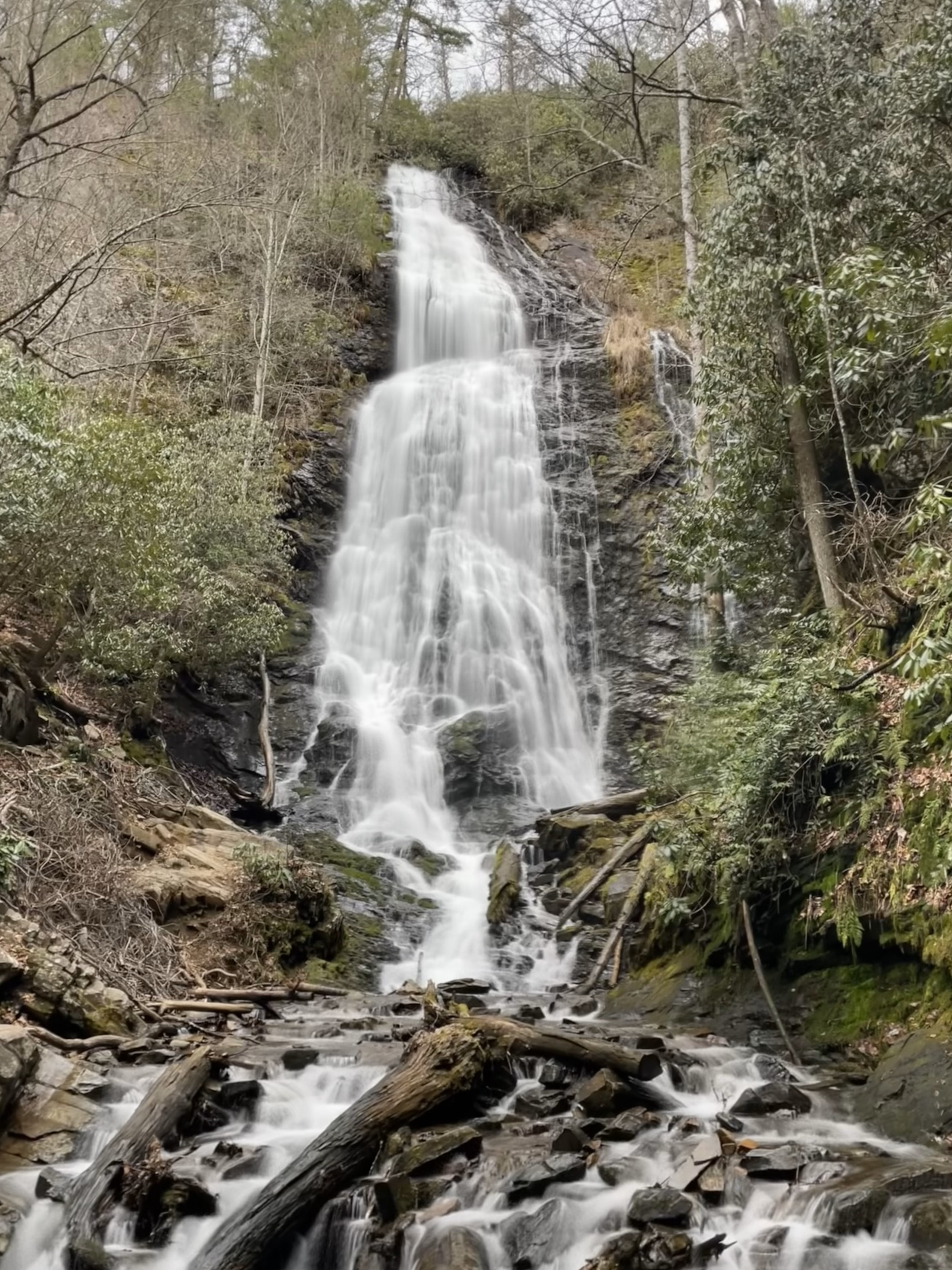 Mingo Falls, by far the tallest waterfall I have seen on the east coast.
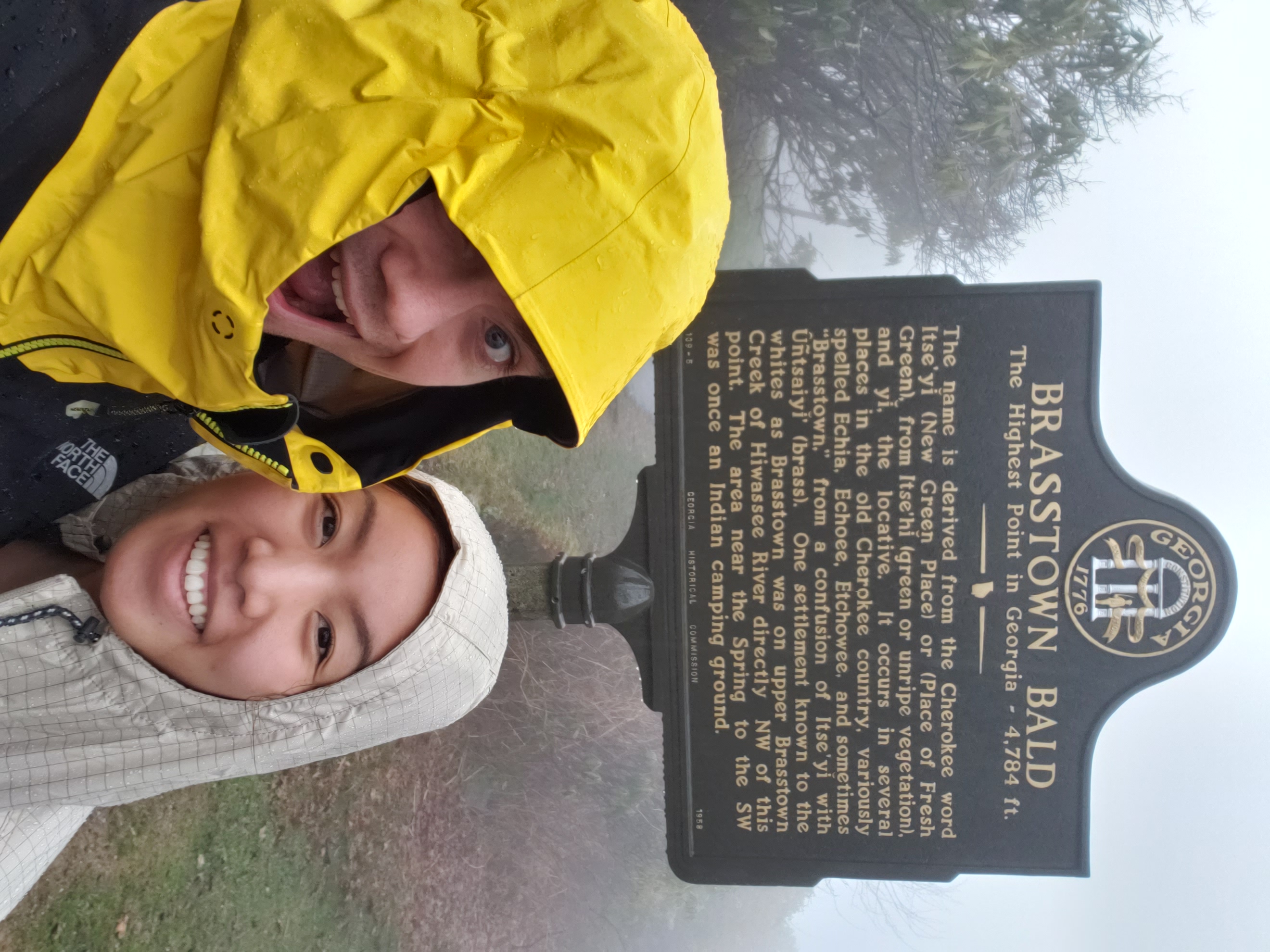 Summit sign atop Brasstown Bald.
 On the lookout tower deck platform looking north toward Great Smokey Mountain NP. The sign shows that Clingmans Dome is in sight, though all I saw was grey.
March 8th - Day 4 - Clingmans Dome, TN HP
Typically Tennessee State HP, Clingmans Dome (6,644 ft; 2,025 m), like the other HP in the regions is a simple drive up and short stroll to the observation tower. Unfortunately, we arrived a week too early so the road to the top was closed. Instead we got the joy of a 16 mile round trip road hike, yay! It sucked. Especially since construction was happening up at the top so pickups would wiz by us every 20 minutes or so. We reached a point of considering trying to flag one down for a ride. We did not, and eventually made the summit tower who's view was all the more rewarding after the 8 miles up. The construction works seemed somewhat bewildered by our presence. If the 8 miles in was bad, the 8 miles back out was double. We started going a little mad and our madness was only made worse by the fact that construction meant the road was marked every 100 ft, making us keenly aware of our slow progress.
Story continues after Day 4 photos.
 A panorama from the observation tower. I really like the nice floating concrete curved ramp, especially with no one around.
 Hey look, a road marking, nice.
March 9th - Day 5 - Mount Mitchell, NC HP and Heading Home
We got up early day 5 because we had a bit of driving to get to the North Carolina State HP, Mount Mitchell, gear to drop off in Ashville, and a flight to catch in Charlotte. Unfortunately, just like Brasstown Bald, fog socked in the top of Mount Mitchell including the Blue Ridge parkway section we took to the summit meaning views were not great. Nonetheless, the story of Mitchell, the mountains namesake who died on the mountain and who's life mission was to prove the mountain was the highest east of the Mississippi, was a great tale to soak in at the top. Driving down in the fog was a little scary. I am familiar with dense fog, having grown up just south of San Francisco in a town that sees more fog then Point Reyes, but this was treacherous especially with the hairpin turns. Needless to say, we made the flight, and maybe more importantly, got the rental gear back to REI before the return time.
 The top of Mount Mitchell.
 Said hairpin turns on the rental car's GPS. I was quite literally using the GPS to prepare for turns that could not be seen out the windshield.