Mount Davis, PA State HP

Ethan and me at the top of the fire/lookout tower on the HP. It was a wee bit windy.
PA State HP
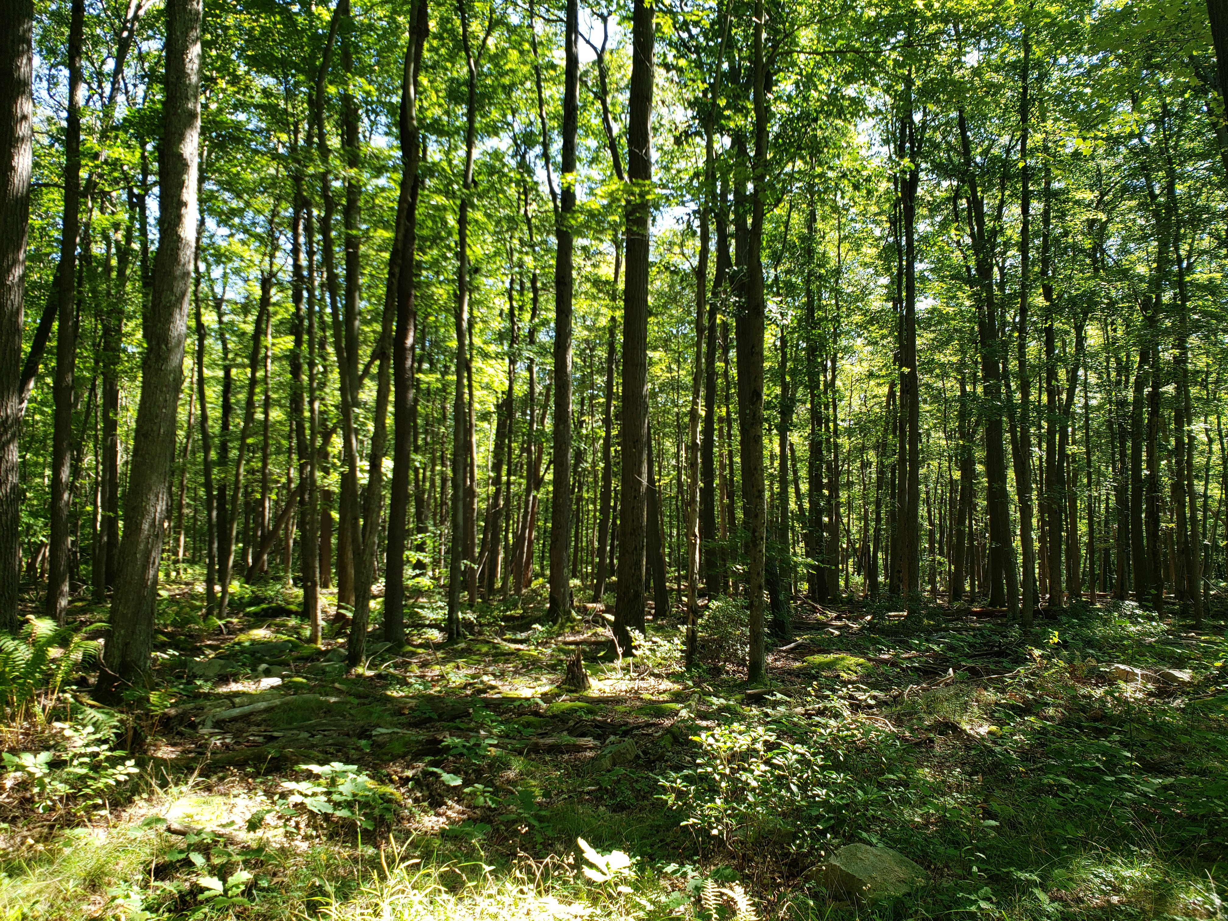
A short 1.5 hour drive southwest of Pittsburgh PA, Mount Davis (3,213 ft; 979 m) is a part of the Allegheny Highlands, a subregion of the greater Appalachian Mountains. The mountain is really a long ridge with the highpoint (HP) at its crest. The area round the HP is covered in a dense, all though vertically stunted, forest with no clearings. The wet climate supports a beautiful carpet of moss and clusters of ferns.
This was my very first state highpoint, and while not very "high", it confirmed my thinking that seeing all of the state highpoints is a good way to see every state and parts of the U.S. I would likely never visit otherwise.
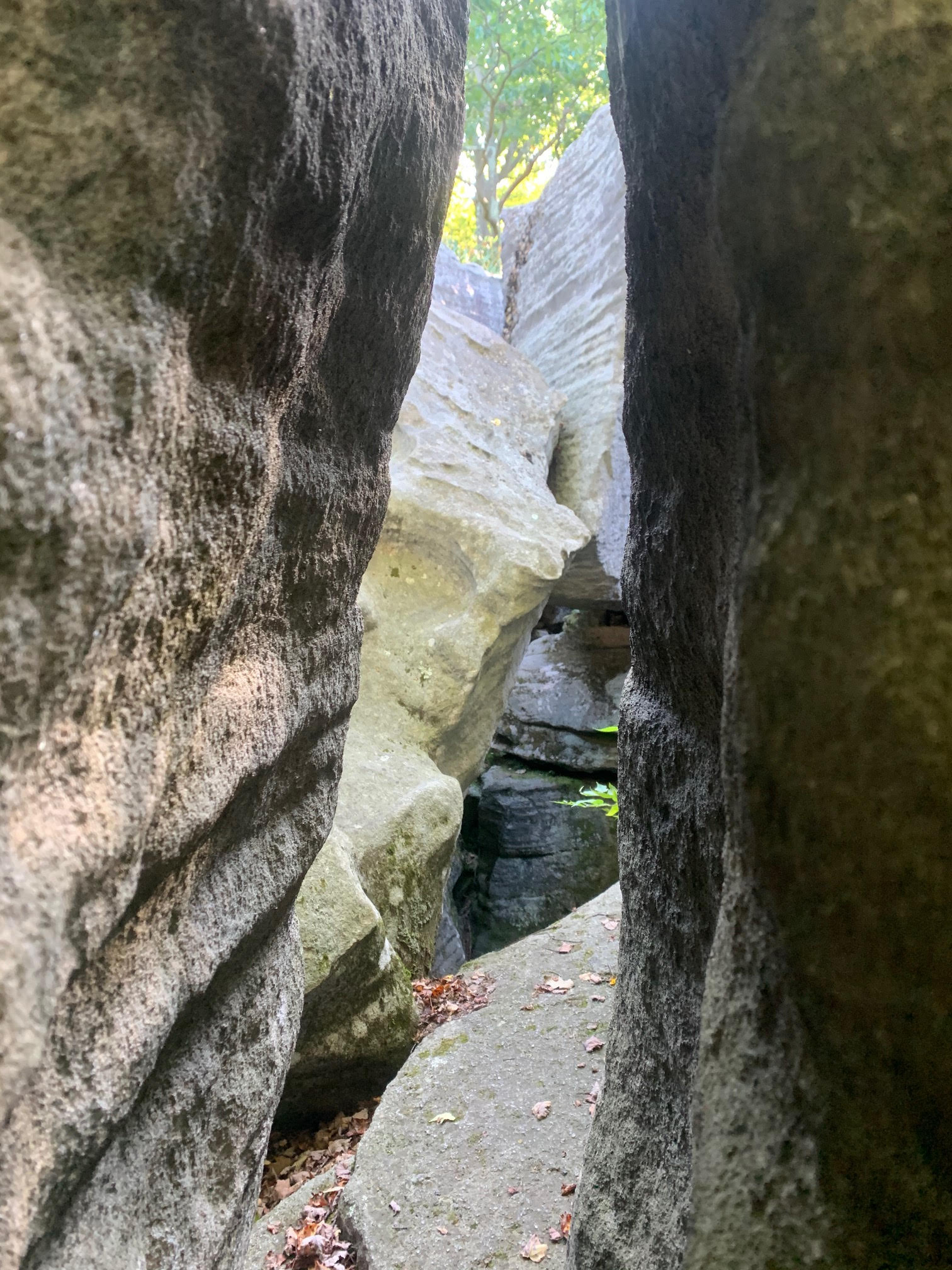
To the north of the HP are the Baughman Rocks, a nice rock formation with deep cracks and crevices that are fun for exploring, but named for a distrubing series of events that occurred there in the 1850s.
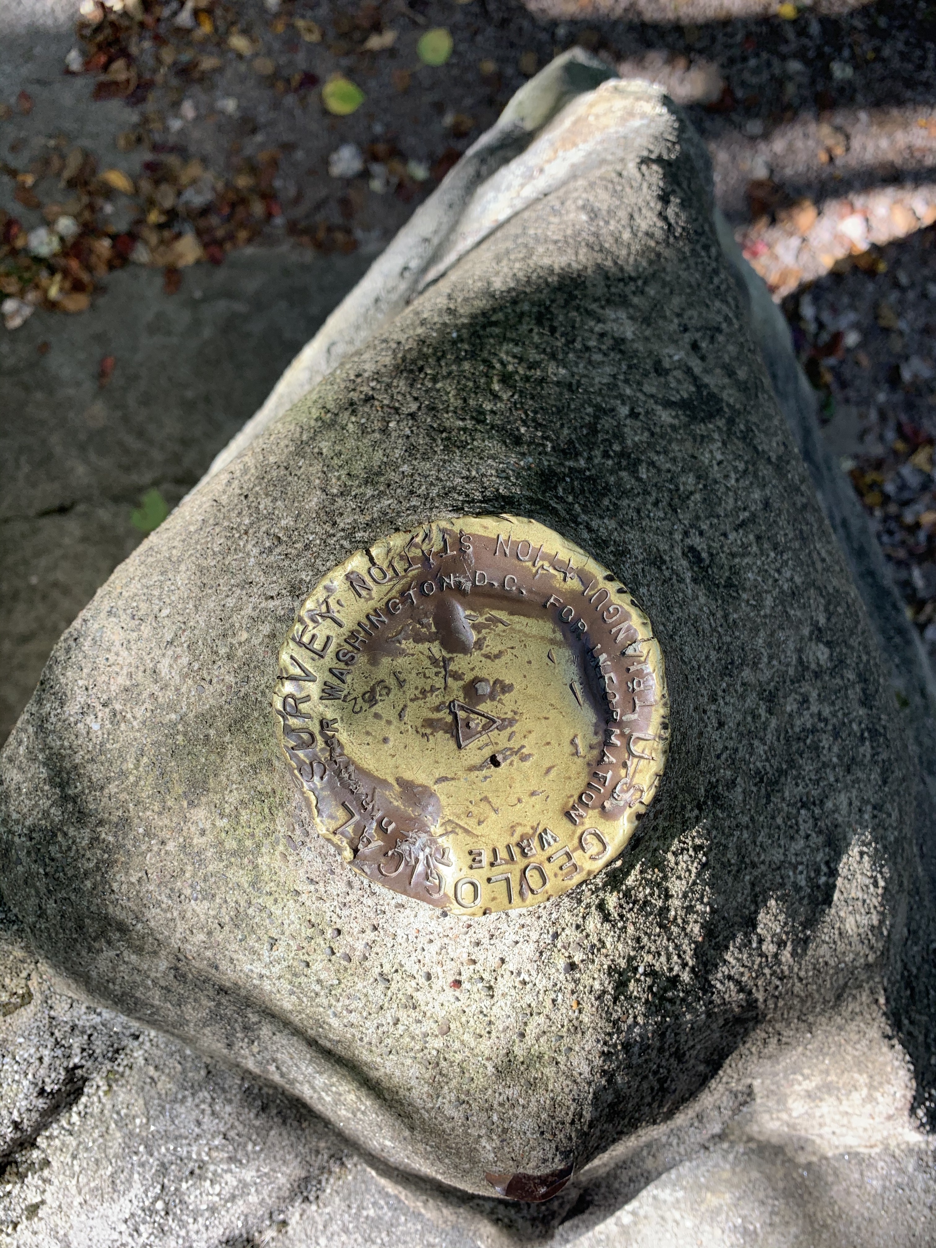
 High point marker
 The surrounding forest was very dense but not very tall, likely owing to the strong wind experienced around the ridge.
 An example of the nice moss beds that covered almost every exposed rock.
 Baughman Rocks trench.
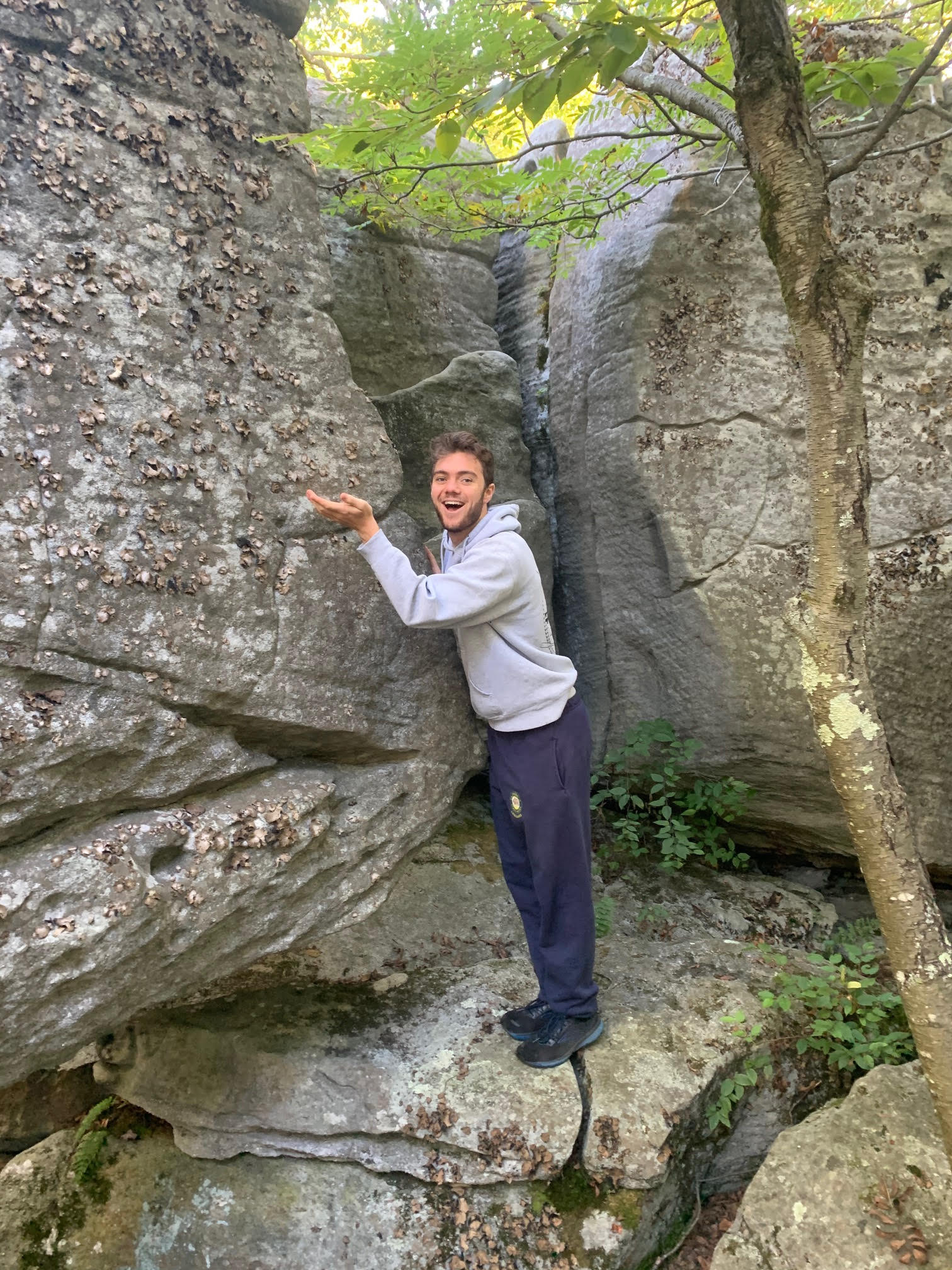
 Some nice lichen in the Baughman Rocks area.